ProQual Level 3 Diploma in Engineering Surveying (Land Surveying)
ProQual
Ofqual Regulated Awarding Body
Level 3
5 Mandatory Units
Course Overview
What is this course
The ProQual Level 3 Diploma in Engineering Surveying (Land Surveying) is an Ofqual-regulated qualification that provides a strong foundation in surveying skills for the UK construction and property sectors. It is designed to reflect current industry practices while ensuring alignment with UK professional standards and legal requirements.
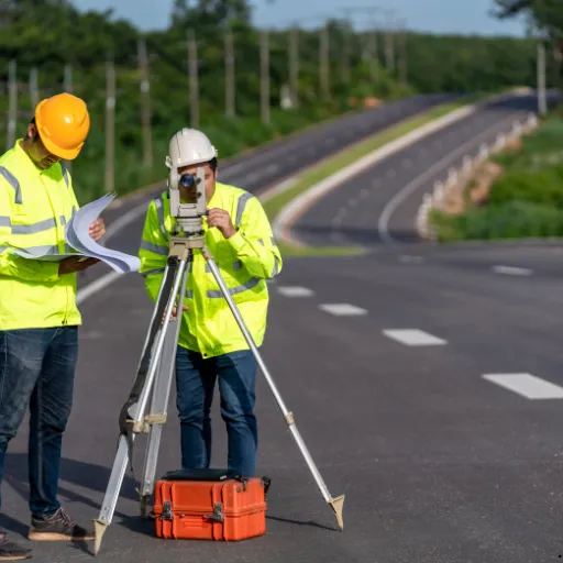
Positioned on the Regulated Qualifications Framework (RQF), the course covers key surveying techniques such as levelling, traversing, setting out, topographic surveys, and the use of modern equipment including total stations and GNSS. Learners also develop skills in producing accurate survey drawings and reports for real-world projects.
The qualification reflects important UK legislation, including the Land Registration Act 2002 and the Law of Property Act 1925, alongside safe working practices under the Health and Safety at Work etc. Act 1974 and Construction (Design and Management) Regulations 2015. This diploma prepares learners for accurate, safe, and legally compliant surveying work across construction, civil engineering, and land development projects in the UK.
Course Content
Detailed Curriculum Structure
Who Should Attend
Target Audience and Participants
The ProQual Level 3 Diploma in Engineering Surveying (Land Surveying) is a UK-recognised qualification for people working, or planning to work, in surveying roles. It helps you prove your technical skills and ensures you understand UK standards such as RICS and CICES, along with laws like the Land Registration Act.
This course is ideal for:
- Trainee and assistant surveyors: Who want to learn and confirm skills like levelling, setting out, and topographic surveying.
- Engineering technicians: Working on construction or civil projects who need accurate surveying skills.
- Setting out engineers: Responsible for marking positions on site based on design drawings.
- Learners aiming for higher study: Those planning to progress to Level 4 or Level 5 or professional membership.
- Site engineers and supervisors: Who check measurements, levels, and boundaries on projects.
- Construction or engineering graduates: Looking to specialise in surveying.
- GIS and mapping technicians: Who want practical field surveying knowledge.
- Utilities surveyors: Mapping underground and overhead services safely.
- International professionals: Seeking a UK-recognised surveying qualification.
- Experienced workers or Level 2 learners: Who want to progress and improve career opportunities.
Upcoming Session
Lock In Your Spot
Get in Touch
+44 2035 764371
+44 7441 396751
info@inspirecollege.co.uk
www.inspirecollege.co.uk